Úvodní stránka
PLUS
AI nástroje pro genrování
Novinka
Generátor obrazů AI
Přinášíme kreativitu pro vaši představivost.
Novinka
AI Image Upscaler
Zvětšete své snímky až 4x pouhým kliknutím!
Novinka
Generativní výplň AI
Odstraňte a nahraďte objekty během několika sekund!
Novinka
Rozmazání pozadí AI
Zamlžte pozadí, aby se předměty vynikly!
AI Pozadí Remix
Profesionální pozadí k vašim produktům
AI Image Extender
Rozšiřte své snímky do různých rozměrů.
AI Writer
Nejlepší společník pro psaní v digitálním éře.
AI odstranění pozadí
Odstraňte jednoduše nežádoucí pozadí.
123RF PLUS
Získejte kreativní řešení poháněná špičkovými AI nástroji.
Přejít na PLUS
Máme 2 nové AI nástroje!
Podívejte se na AI Image Upscaler a Generativní výplň AI!
OK
Snímky Zdarma
Stock
Fotografie
Vektory
Video
Audio
Písma
Corporate+
Ceny
Podpora
cz
English
Česky
Deutsch
Español
Français
Magyar
Italiano
日本語
한국어
Nederland
Język polski
Português (PT)
Русский язык
简体中文
繁體中文
Türkçe
Přihlášení
Jdi neomezeně
Vyhledávání pomocí obrázku
Vyhledávejte na 123RF pomocí obrázku místo textu. Vyzkoušejte snímek přetáhnout do vyhledávacího pole.
Přetáhněte a upusťte soubor nebo jej
Vyhledejte
Sem přetáhněte obrázek
Vše
Možnosti
Vyhledávání pomocí obrázku
PREMIUM
Vše
Fotografie
Vektory
Video
Audio
Písma
FREE
PLUS
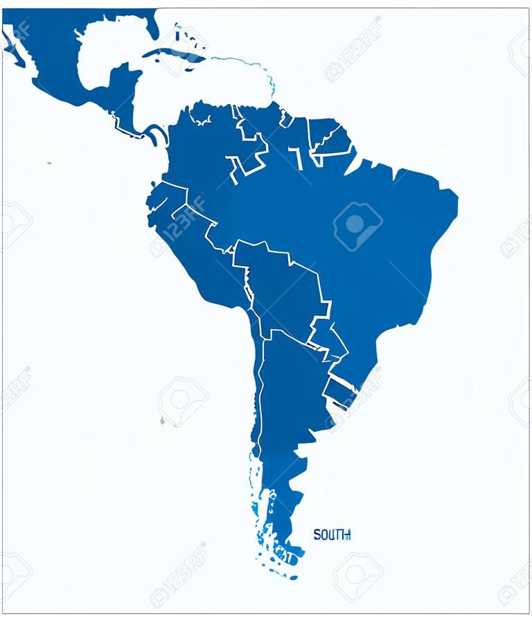
Political map of South America with all countries and national borders. Blue outline illustration on white background and english scaling.
AI Variation
AI Variation
peterhermesfurian
Sledujte
Náhled
Sdílení
X
Facebook
Pinterest
37005343
PLUS Vektory
(SVG nebo EPS)
Podobné výsledky vyhledávání
south america
south america map
south american map
mapa america del sur
argentina map
american map
america del sur
geography
paraguay
bolivia
continent
silhouette
colombia
america
map
french guiana
argentina
political map
white background
guyana
blue
cartography
atlas
chile
peru
uruguay
outline
ecuador
americas
venezuela
atlantic
coastline
pacific
falkland
brazil
suriname
galapagos
country
Podobné skladové obrázky (Vektor, SVG a EPS)


 Pinterest
 37005343

 Novinka
 Novinka
 Novinka


 37005343